
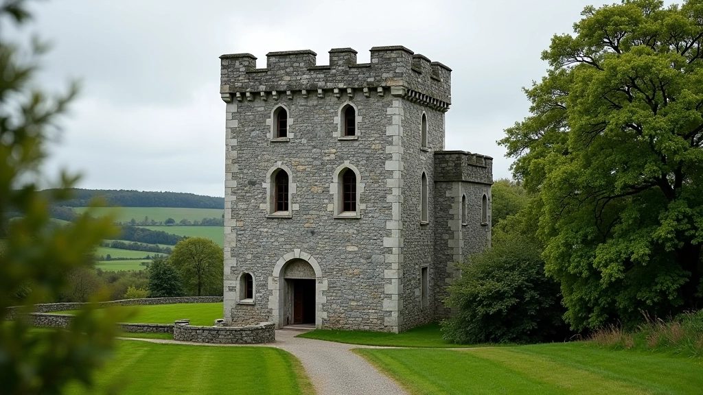
Thoor Ballylee: A Poet's Tower
Explore the restored Norman tower where Yeats lived. Discover how medieval fortifications became a symbol of literary heritage and personal transformation.
Read GuideWalk the ancient stone boundaries that shaped farming communities. These walls tell stories of land division, family boundaries, and centuries of agricultural tradition in rural Ireland.
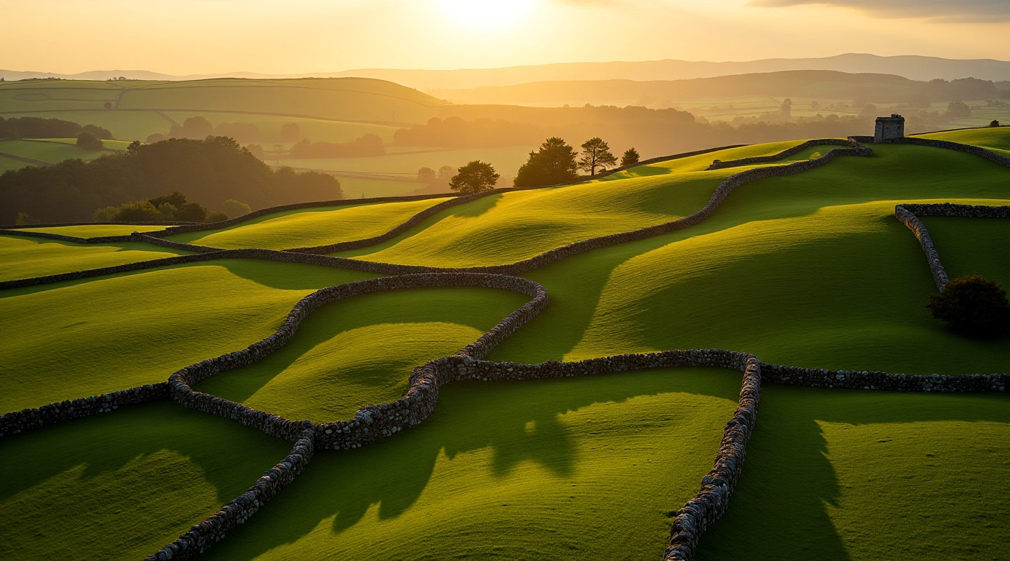
The walled fields of East Galway aren't just old stones scattered across the landscape. They're a living archive of how Irish farming communities organized themselves over centuries. Every wall tells a story — about family land disputes, shared boundaries, and the careful planning that went into dividing the countryside into workable plots.
Walking these routes, you'll notice something interesting: the walls aren't random. They follow the contours of the land, respecting water sources and soil quality. The farmers who built them understood their terrain intimately. They knew which slopes drained best, where stone was easiest to quarry, and how to create boundaries that would last generations.
What makes East Galway's walls particularly compelling is their density and preservation. Unlike other regions where walls have crumbled or been removed for modern farming, many of these boundaries remain largely intact. You're literally walking through the same field divisions that existed 200 years ago.
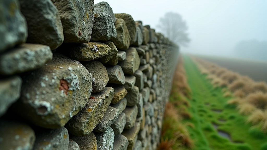
The walls themselves are incredibly varied. Some are 4 feet high with carefully shaped stones. Others are barely 2 feet tall — built during times when stone was scarce or land pressure was less intense. You'll see sections made from local limestone, others from darker basalt. The type of stone tells you about the geology of that specific area and what resources farmers had available.
Patterns emerge if you look closely. Double walls running parallel suggest important boundaries — maybe separating family properties or marking the edge of a townland. Single walls indicate minor divisions between neighboring plots. Gaps in walls, even now, show where gates once stood. Locals would've known exactly where to cross, which gates belonged to which families.
Walking tip: Many walls follow field boundaries that date back to the 1700s. The Irish Land Commission surveyed these fields extensively in the 1800s, and their maps still match the walls you see today.
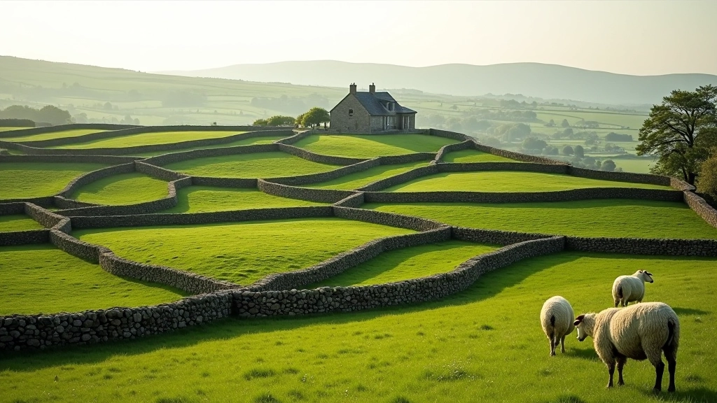
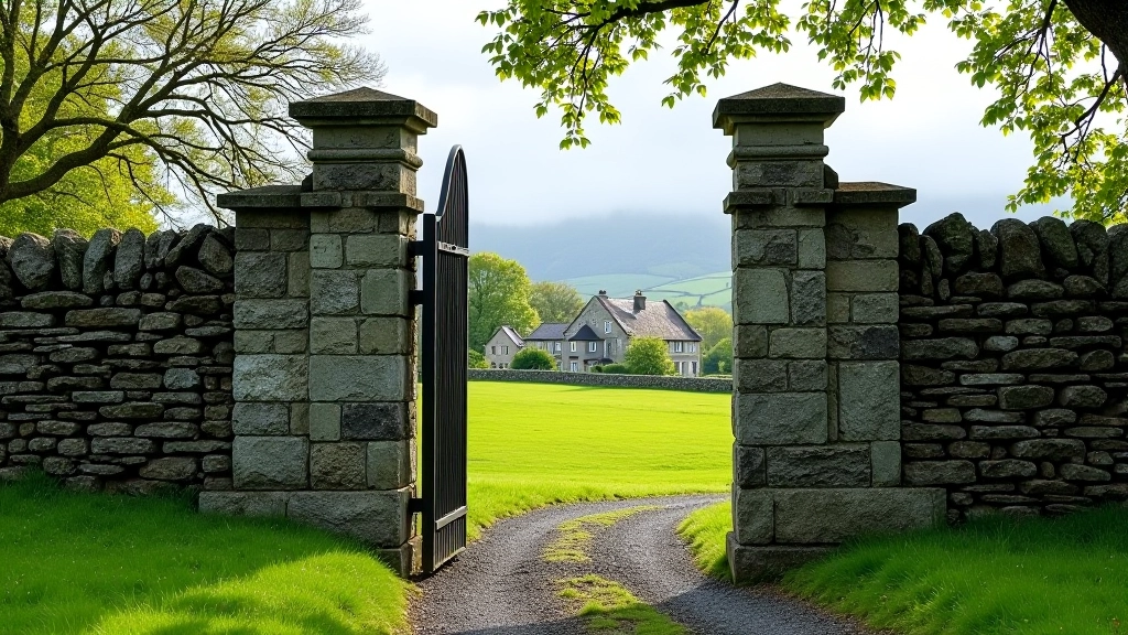
Three main routes work well for exploring these fields. The easiest follows a loop around Ballyturin townland — about 4 kilometers on quiet country roads and farm tracks. You'll pass through at least 15 different field systems, each with distinct wall characteristics. This route's mostly flat, which is why it's popular with visitors who prefer steady walking without steep climbs.
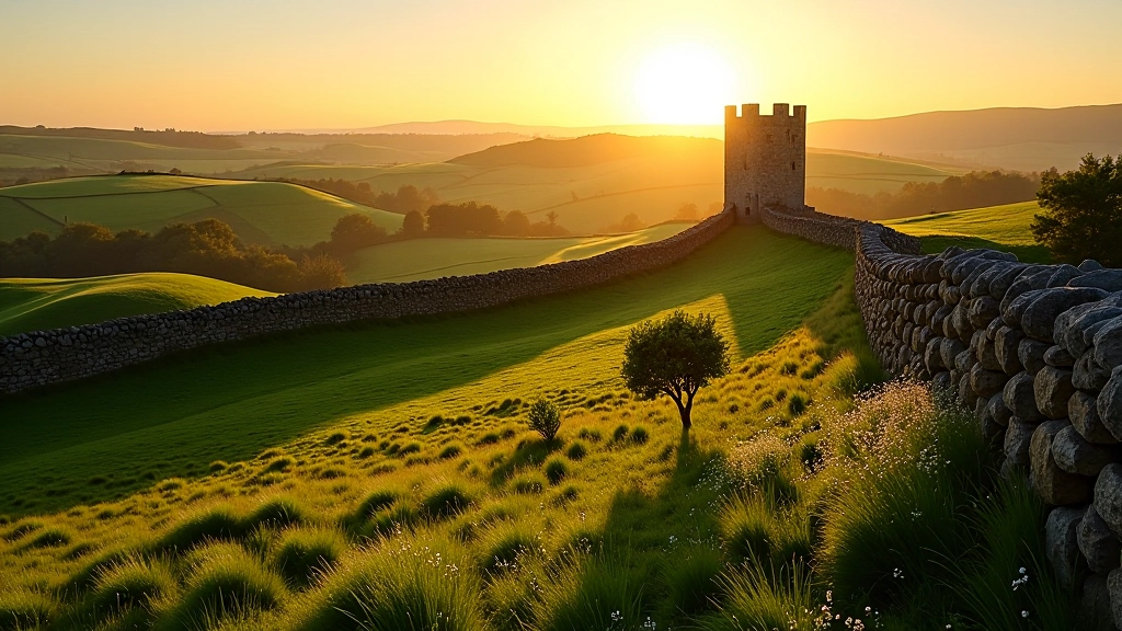
The second route, based around Clonbrock, covers roughly 6 kilometers and includes some genuinely beautiful vistas. You're walking uphill for about the first third, which separates this route from casual walkers. The reward? From the top, you can see how the walls create an almost geometric pattern across the entire valley. On clear days, you can trace individual field divisions for miles.
The third option's a bit more demanding at 8 kilometers, but it's worth it if you've got decent fitness. This route connects multiple townlands and shows you how walls change as you move between different soil types and terrain. You'll notice walls are tighter, more substantial in some areas — that's where the land was more valuable or disputes over boundaries were more intense.
You'll encounter several types of walls. Dry stone construction — stones fitted together without mortar — is most common. Some sections show evidence of repair work from different centuries. Look for walls where the top layer's more recent stone than the base.
Walls create their own microhabitats. Moss, lichen, and ferns thrive in the damp conditions. You'll notice flowering plants — hawthorn, blackthorn, wild roses — growing along the walls. These create natural corridors for wildlife.
Sometimes you'll find carved initials or dates on stones — farmers marking their work or ownership. Occasionally, you'll spot old boundary markers or cairns. These details bring the human story of the landscape into focus.
Late spring through early autumn's the sweet spot. May and June give you wildflowers blooming along the walls — the hawthorn's particularly spectacular. July and August bring warmth but also can mean muddy sections if there's been heavy rain. September's genuinely lovely — drier than summer, still mild, and fewer tourists than peak season.
Winter's possible but challenging. The ground gets boggy, and the shorter daylight limits how much you can cover. Spring — March and April — can be unpredictable. You might get gorgeous weather or cold, wet conditions. Always check a weather forecast and plan accordingly.
Timing your walk for early morning or late afternoon gives you better light for photographs and a quieter experience. You'll have the landscape mostly to yourself, which changes how you engage with it. The walls seem more intimate when there aren't other visitors around.
Choose walking routes that match your fitness level and experience. Check local weather conditions and ground conditions before you travel — some routes become muddy or difficult after heavy rain. Many of these walks cross private farmland, so respect gates, don't leave litter, and consider speaking with local farmers if you're unsure about access. If you have any health concerns or haven't exercised regularly, speak with your GP before starting a new walking activity. Wear appropriate footwear — these aren't always maintained paths, and proper shoes prevent slips on wet stone.
Walking the walled fields of East Galway isn't just about exercise or checking a scenic route off your list. It's about connecting with the decisions and labor of people who lived here centuries ago. Every wall represents choices — about land use, about family property, about how communities organized themselves.
These walls have survived because they were built well and because the communities around them understood their value. Today, they're under pressure from modern farming practices and property development. Walking these routes and appreciating them matters — it's a quiet way of acknowledging their significance.
Start with whichever route matches your fitness level. Bring a camera if you want — the light and textures reward photography. Most importantly, go slowly enough to actually notice details. The walls have stories to tell if you're patient enough to listen.
Editorial Team
Written by the robwway Editorial Team, focused on clear, practical guidance for heritage walks in Galway. We're committed to sharing authentic, detailed information about the landscapes and histories that make East Galway distinctive.
Discover other fascinating routes and stories from the Galway countryside
Explore the restored Norman tower where Yeats lived. Discover how medieval fortifications became a symbol of literary heritage and personal transformation.
Read Guide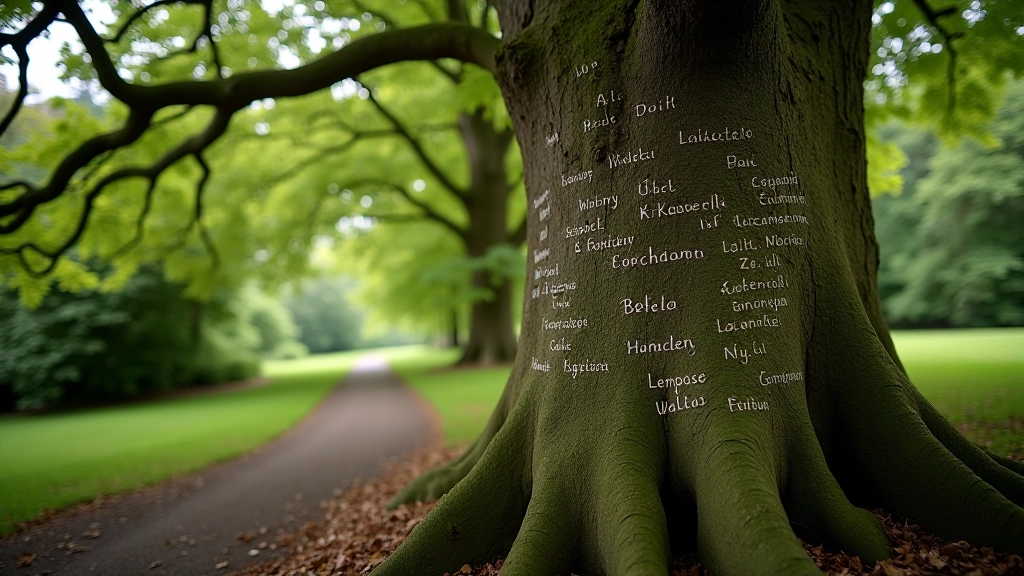
Follow the woodland path to the famous beech tree carved with signatures of literary figures. Walk where artists and writers once gathered in creative community.
Read Guide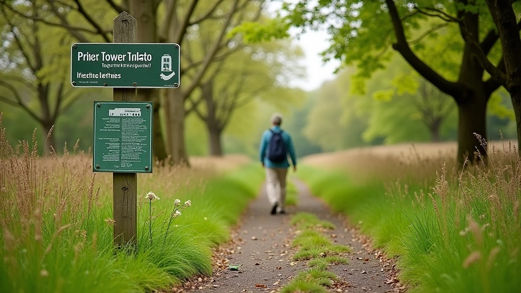
Practical advice for comfortable walking. Best times to visit, what to bring, pacing strategies, and how to get the most from your time outdoors.
Read Guide